The airborne SAR radar monitoring system adopts a miniaturized synthetic aperture radar, which is mounted on unmanned aerial vehicles and can achieve high-resolution real-time monitoring function of the radar. Synthetic Aperture Radar (SAR) is an active imaging device that operates in the microwave band. It uses pulse compression technology to achieve high distance resolution and synthetic aperture technology to achieve high azimuth resolution.
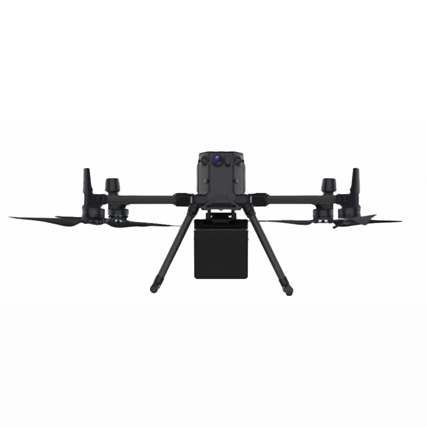
The SAR imaging radar integrates a two-dimensional full phased array antenna, high-precision IMU, integrated electronic equipment, image transmission data transmission, and real-time imaging system in an integrated structure. It can be mounted on small unmanned aerial platforms such as the DJI M350 with simple installation, and can be used independently without SAR professional background, in conjunction with dedicated ground software.
Product Features
SAR equipment has the characteristics of working 24/7 and 24/7
SAR imaging does not rely on sunlight and can capture images during both day and night.
SAR imaging is minimally or even unaffected by weather, and has a high chance of imaging.
SAR imaging has a certain degree of penetrability and can penetrate through a certain thickness of sand, snow, vegetation, and other obstructions to discover targets below.
Application Fields
Agricultural and forestry monitoring, landslide monitoring, resource investigation, disaster assessment, forest fire prevention, etc